I was recently in Greater Greater Washington, with a piece recounting a little trip last summer: a friend in Maryland gave me a tour of Montgomery County’s Agricultural Reserve. It’s a major farmland preservation initiative that I’ve heard a lot about, and is considered by many to be the gold standard for preservation. But I had never actually seen what it looks like, beyond images taken from the air contrasting the sprawl of Fairfax and Loudoun County in Virginia with the preserved countryside of Montgomery County.
My friend lives a few minutes from the edge of the Reserve, along the county’s growth corridor following Interstate 270, northwest from Washington, D.C. I’ve explored the cities along that route plenty—Rockville, Gaithersburg, Germantown—but I only ever had the faintest real idea that a few minutes from all that hustle and bustle was a slice of working countryside that pretty much looked just about the same 50 or even 100 years ago.
My friend had done this before, and she knew the roads well enough to write down some basic directions and then guide me (I did the driving.)
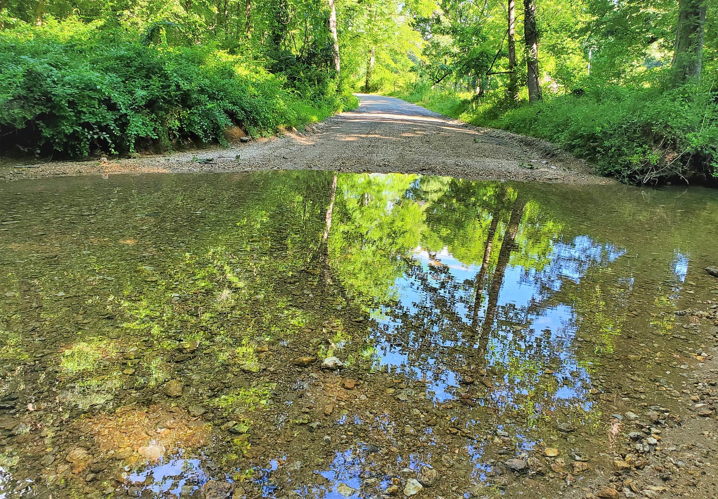
At one point we ended up on a gravel road where a stream crossed, and you had to drive quickly yet carefully.
We were give or take 30-40 miles from downtown D.C. There is very little left in Fairfax County, and increasingly in much of Loudoun, that looks like this. Or like anything else I’m about to show you.
From my GGWash piece:
The Reserve itself is not a single policy, per se, but rather the result of many policies. One of them, for example, is the conscious choice not to provide public sewer service to the areas covered by the Reserve, but rather only the county’s inner portion and its newer “corridor cities” along I-270. And the “corridor cities” idea itself ties in with the Reserve: instead of allowing relatively low-density growth to radiate out evenly—as in Fairfax County—growth is channeled into corridors, creating higher-density development alongside rural “wedges.”
“Creation of an Agricultural Reserve through a combination of zoning, limitation of sewer service, and use of transferable development rights is one of the nation’s most successful and widely emulated efforts to preserve farmland in perpetuity,” writes Royce Hanson in Suburb, a granular history of development in Montgomery County. While 1980 is the year of creation, the entire “wedges and corridors” plan, of which both the Agricultural Reserve and the I-270 “corridor cities” are a part, dates to the mid-1960s. (This was at a time when even much of Fairfax County, let alone Loudoun, was still rural and agricultural.)
In the 1970s, the county imposed a “Rural Zone” over much of what is now the Reserve, and also established five-acre zoning. However, even with the lack of public sewer service, the conversion of farms into subdivisions continued. Easements were added to the arsenal, but so was one of the Reserve’s most unique attributes: the fact that it created a contiguous piece of agricultural land and not a patchwork of individual farms. “Keeping a large contiguous area of farmland intact was crucial to sustaining farming. Farmers’ experience taught once an area was fragmented by residential subdivisions, farming became less viable,” Hanson writes. In other words, the county managed to preserve not just “open space” but farming and rural life themselves. And just 30 miles from downtown Washington, DC.
That last point is key. Farming isn’t just an activity. It’s a social and economic ecosystem. There are exceedingly few counties like Montgomery—about one million people, directly bordering one of the nation’s major cities—that still have much of an undeveloped countryside at all, let alone a truly working one.
I contrast this particularly with New Jersey, where I grew up. There are still rural and agricultural areas in my Central Jersey home county, but farmland preservation is largely property by property, and treated more as a question of open space. Often, it’s effectively an amenity for affluent homeowners, or NIMBYism posing as environmentalism.
But the Agricultural Reserve is a carefully selected contiguous piece of the county’s outer edge, where that agricultural ecosystem still functions. I really find it quite wild.
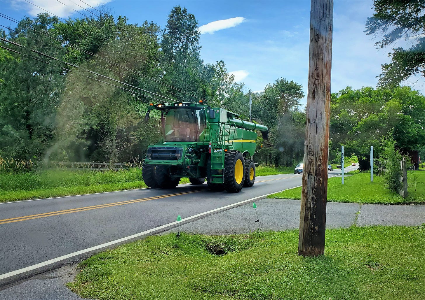
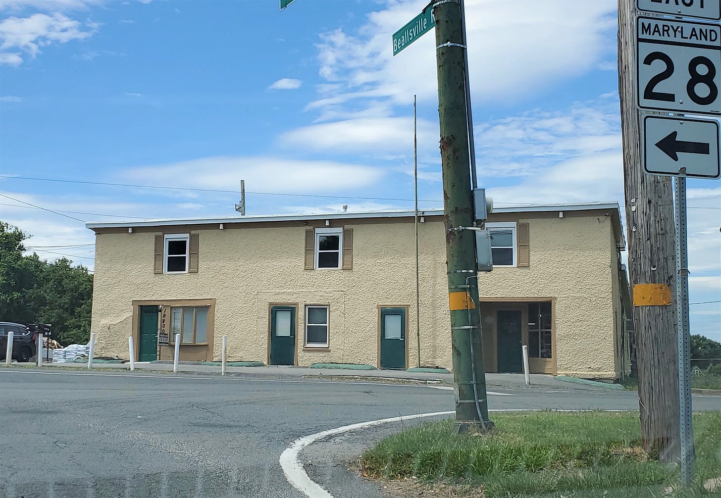
That was not the only farm tractor I saw on a road. People here, of course, have internet and cell phones and there is a little bit of modern strip retail sprinkled throughout. But it’s minimal. It really feels frozen in time, despite still thriving.
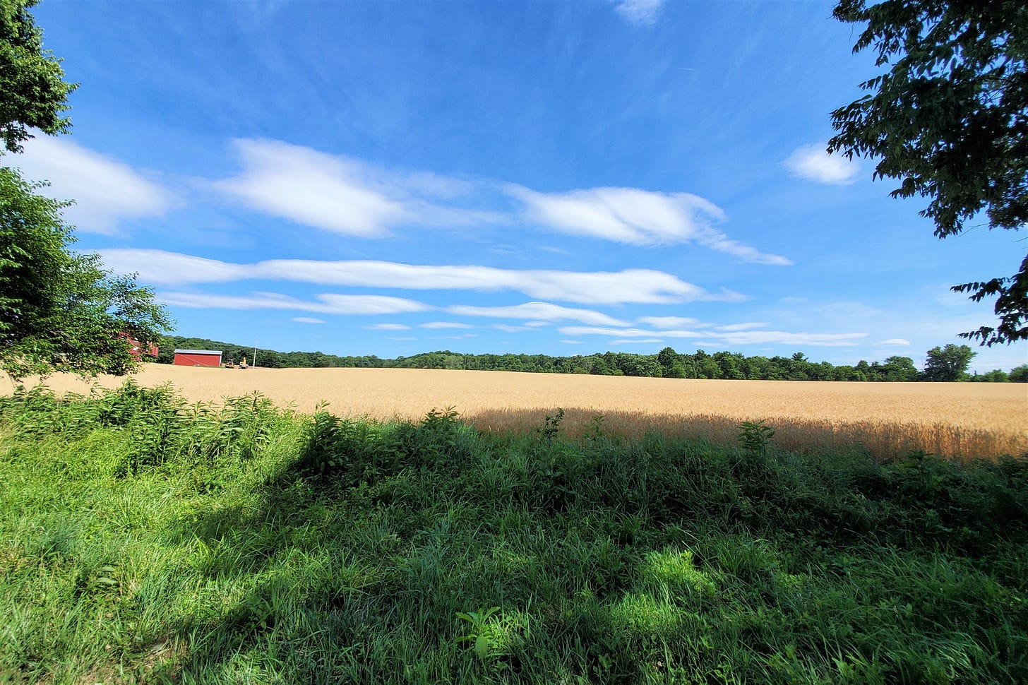
The landscapes are stunning, with no subdivision roofs visible over the horizon.
And there are miles and miles of this. There are little old train stations that still receive trains (now the MARC, the Maryland commuter line into D.C.). There are little villages with virtually no fringe of sprawl around them. And there are relatively few McMansion-style homes.
This is cool too: White’s Ferry, where you can have your car (or your bike, or yourself!) transported across the Potomac River. Via Wikipedia, “the last remaining cable ferry service” on the river. It closed in 2020, but there are plans to bring it back. This is probably the most curious commute in the D.C. metro area.
Those old towns and train lines and ferry crossings are a hint of which routes used to be primary, before the suburbs and the Interstates, and where growth might have followed had things shaken out differently.
You don’t hear cars when you stop and get out here; you hear nature, and maybe farm machinery. If you live anywhere near Montgomery County, and have never personally seen the Agricultural Reserve, I highly recommend taking a little road trip.
Read my whole piece for more on the history and policy behind it.
Related Reading:
Thank you for reading! Please consider upgrading to a paid subscription to help support this newsletter. You’ll get a weekly subscribers-only post, plus full access to the archive: over 500 posts and growing. And you’ll help ensure more material like this!


