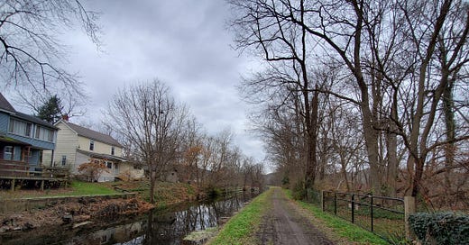
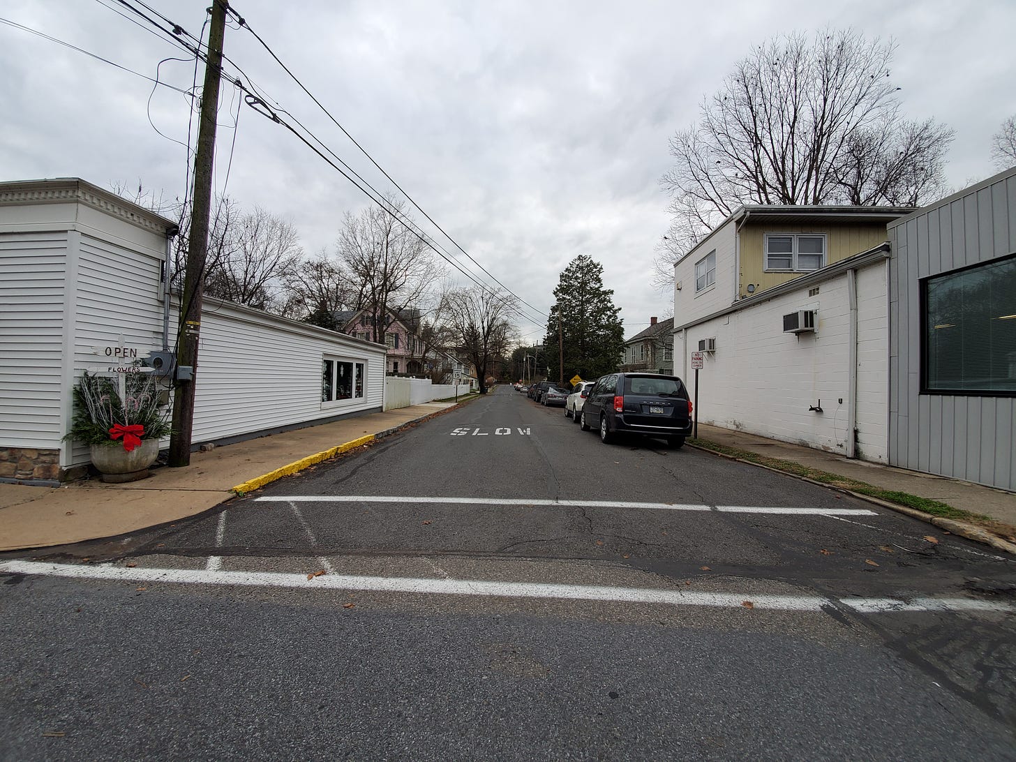
Last year, my wife and I took a day trip to Riegelsville, Pennsylvania. (Photos all mine.) A long, narrow town sprawled out along a main transportation corridor. Its form is a little bit like a cross between a larger town built on a grid and a commercial highway corridor. However, the corridor along which Riegelsville is settled was first the Delaware River, and at its height, the Delaware Canal.
This is a very small settlement; the population has floated between 600 to 1,000 people ever since 1920, and was much smaller than that in the 19th century. Its “sprawl” form is so obvious for a couple of reasons; first, it’s bounded by a river on one side, and second, and more importantly, it never grew large enough to have neighborhoods surrounding its small core.
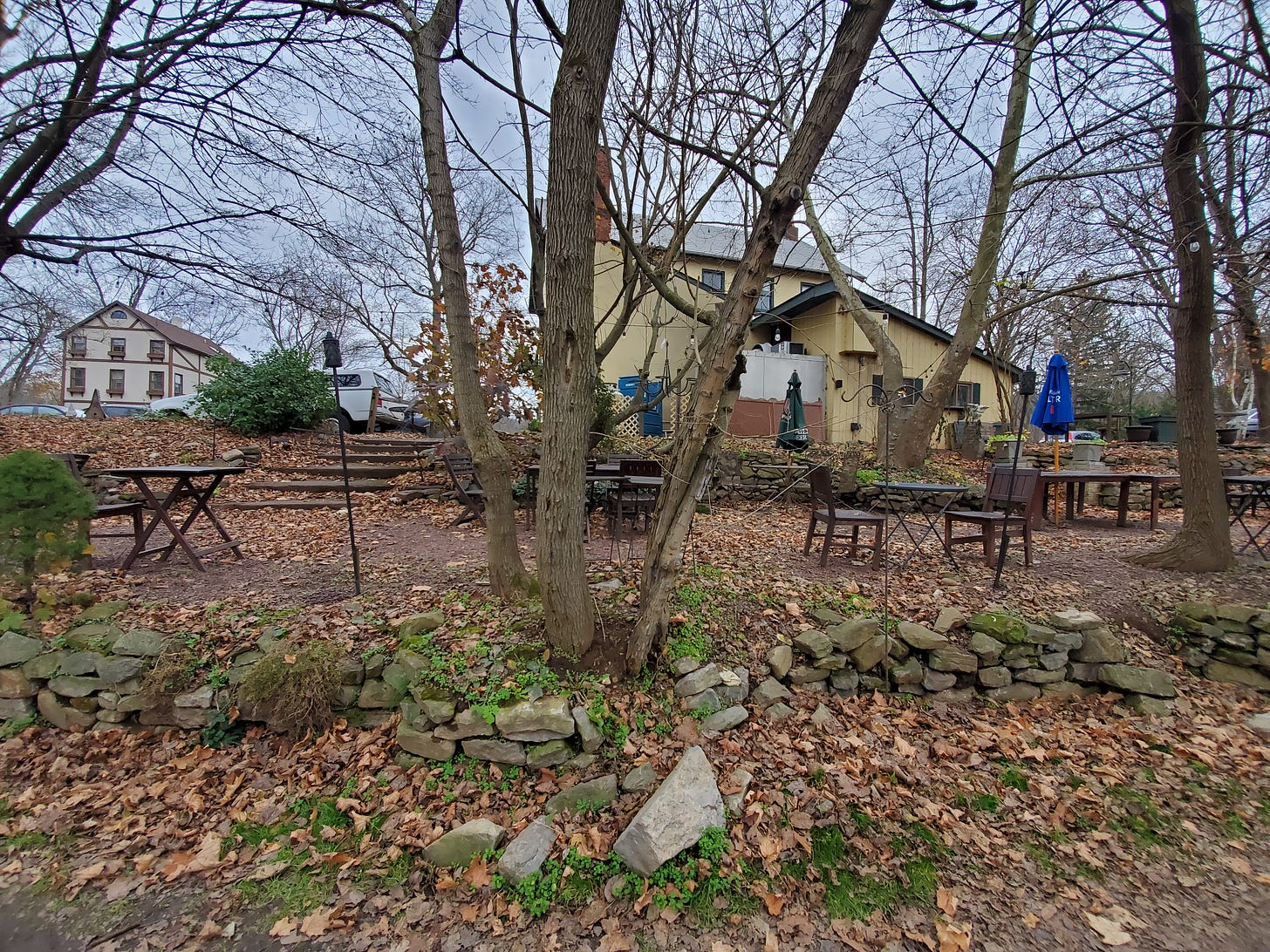
The result is a fascinating piece of “canal sprawl,” with lovely houses backing right onto the canal, just a stone’s throw away from the small downtown. A couple of restaurants sit right next to houses. The main tourism draw is the canalside path, which you can follow for miles through a number of small towns.
This is a good reminder of a couple of things. First, it illustrates a point I make all the time: small towns are, essentially, embryonic cities. Their DNA is fundamentally urban, despite often having a remote setting. Second, sprawl is really just development scaled to the dominant technology. There are long, narrow “rail sprawl” towns, which consist of little more than a street or two tracking the rail line, for example. Automobile sprawl may be an innovation, but it makes a certain kind of sense. All built settlements before the car were not built the same way, and transportation technologies before the car meaningfully shaped urban design. This can be hard to detect today because car-oriented development is quite distinct from pre-car settlements.
Even though places like Riegelsville are very expensive, exclusive bedroom communities or lifestyle towns today, their history is the polar opposite. They were busy industrial hubs in a very different economy, one which consisted of regional networks of commerce consisting of dozens of small cities and towns. Despite the presence of monopolistic trusts and larger-than-life captains of industry, the American economy was probably more loosely concentrated geographically. Every small town had a fundamental economic purpose, a fundamental reason to exist. Those reasons mostly no longer exist, and so places like this retain their old form, but mostly function as suburbs. Area houses go up to $1 million; no canalside houses were on the market as I wrote this.
If you think I’m exaggerating the status of a tiny village of a few hundred people, consider that Riegelsville had electric trolley service. Many old streetcar maps essentially illustrate the regional, granular nature of an erstwhile economic arrangement. A web forum discussion here details how to find some remnants of the streetcar, and an article in the Bucks County Courier Times gives a history overview:
The same year the fair opened in St. Louis [1904 World’s Fair], a 32-mile trolley line opened between Doylestown and Easton.
For 45 cents one way, people could ride an electric streetcar on tracks along a dirt road (today’s Route 611) that passed through Plumsteadville, Pipersville, Ottsville, Ferndale, Riegelsville and other country villages on the way to Easton.
The BLS.gov inflation calculator only goes back to 1913, and 45 cents in 1913 is about $12 today. That’s about what it costs me to take the Metro from Reston to Washington, D.C., a ride a few miles shorter. It’s uncanny how similar those prices are.
Easton and Doylestown are small cities or large towns, depending on your definitions; small by today’s standards in terms of thinking about transit connections. A place the size of Riegelsville is not even on the transit radar. It’s astonishing how easily somebody could explore the countryside back then. Streetcar routes of the late 1800s and early 1900s often terminated beyond even today’s exurban fringes—and it’s taken nearly a century since the streetcar’s demise for the exurbs to push out even to their current point.
The loveliness of places like this can feel irrelevant because of their exclusivity. Despite their urban form, their density is not sufficient for places with a real housing shortage. And their residents often prize smallness and quietness; while one can imagine new growth around classic small towns taking the form of expansion of the existing street grid rather unconnected subdivisions springing up on the perimeter, town residents would often refuse this even if it were common practice. (Which it should be! Some early suburbs grew exactly this way; for example, Massapequa Park on Long Island, and North Plainfield, New Jersey.)
Nonetheless, these settlements do exist and endure as a template for what’s possible in design, architecture, livability, and beauty at a given size and density. And they endure despite their one-time economic function ceasing to exist. Perhaps we do have some things to learn from them.
This post, like most of what’s here, is free for all web viewers and subscribers. I’d like to do more of these pieces with a research, photo, and road-trip element. I’ve committed to one post per day here, for the foreseeable future. Please do consider a paid subscription to help make this viable for me to continue and grow. Thank you for reading!


Cool piece! I stumbled on Rieglesville when I was avoiding the highways between NYC and DC. It had a very unusual and distinctive feel that I felt thrown into after crossing the historic bridge. The uniqueness of the town and its sense of place stuck with me.